 You actually won't find a whole lot from me here on ESRI FedUC - today was mainly taken up by the Plenary session, and due to a number of meetings, I was bouncing in and out for a chunk of the day - but some of the highlights I picked up on:
A big emphasis was put on ArcGIS Explorer - speaking to notes, lightweight pushpin objects and other things which will enhance the geobrowser experience. Some good examples again highlighting custom tasks, however not a lot of detail on the plumbing and integration experience.
The other big highlight for me - ArcGIS Server previews - One very cool thing I noticed was the JavaScript API, where they did what appeared to be some very fast, painless and very nice integration with Virtual Earth, via JavaScript arcgisve_service calls. Definitely one feature I'd like to kick the tires on a bit.
The keynote was given via a prerecorded presentation from the Secretary of the Interior - this was followed by a few presentations and points from other areas within DOI - featuring NILS - the National Integrated Land System within GeoCommunicator: http://www.blm.gov/wo/st/en/prog/more/nils.html
But for me, the meetings have thus far been the highlight of the day....
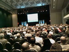
And now... the obligatory blurry camera phone of the backs of heads:
And next... the comments about "lame blogging" and "why couldn't James be there..."
Subscribe to:
Post Comments
(
Atom
)


0 Response for the " ESRI FedUC Day 1 "
Post a Comment